Trail Review: Gorge Trail and Rim Trail Loop at Buttermilk Falls State Park
If you turn left after crossing the little bridge at the bottom of the falls, you are on the Gorge Trail.
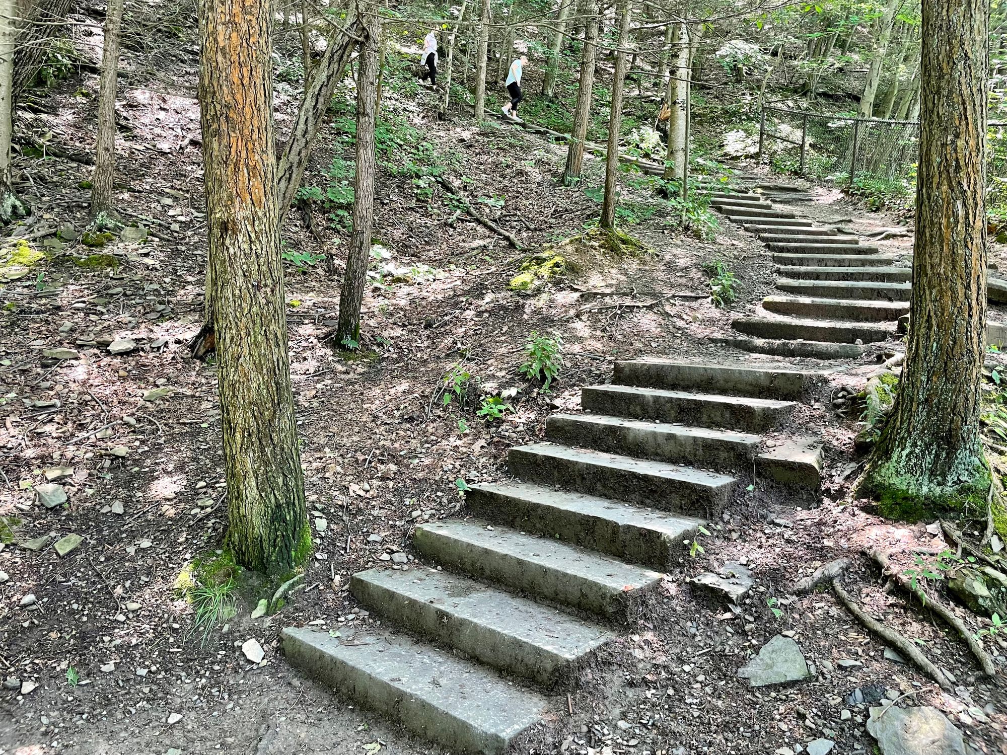
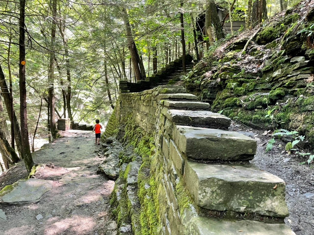
The map says this trail is .75 miles, but it’s not easy to tell exactly where it stops and starts. It’s beautiful and takes you straight up the right side of the falls (from the perspective of facing the falls). There are a LOT of stairs.
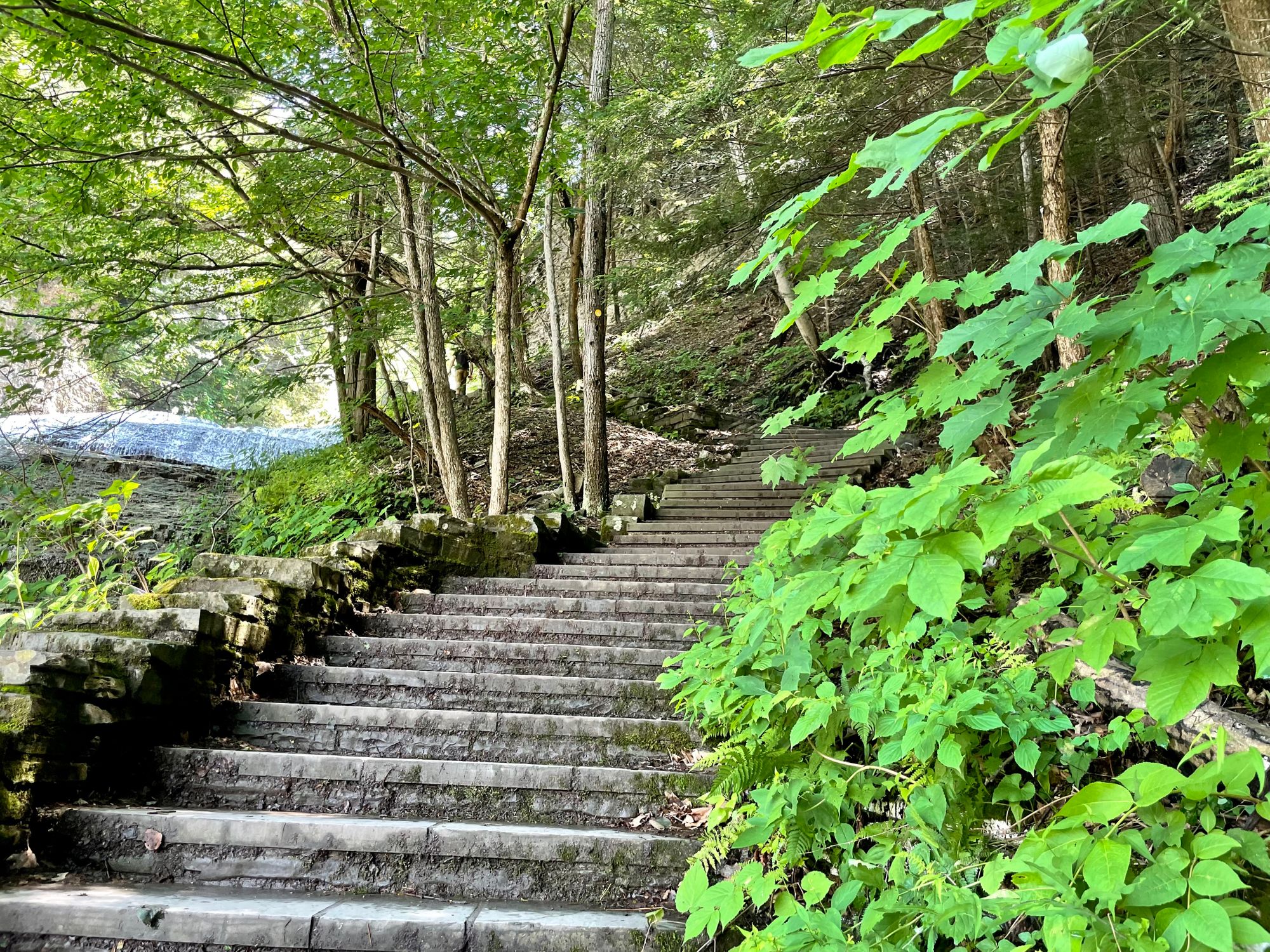
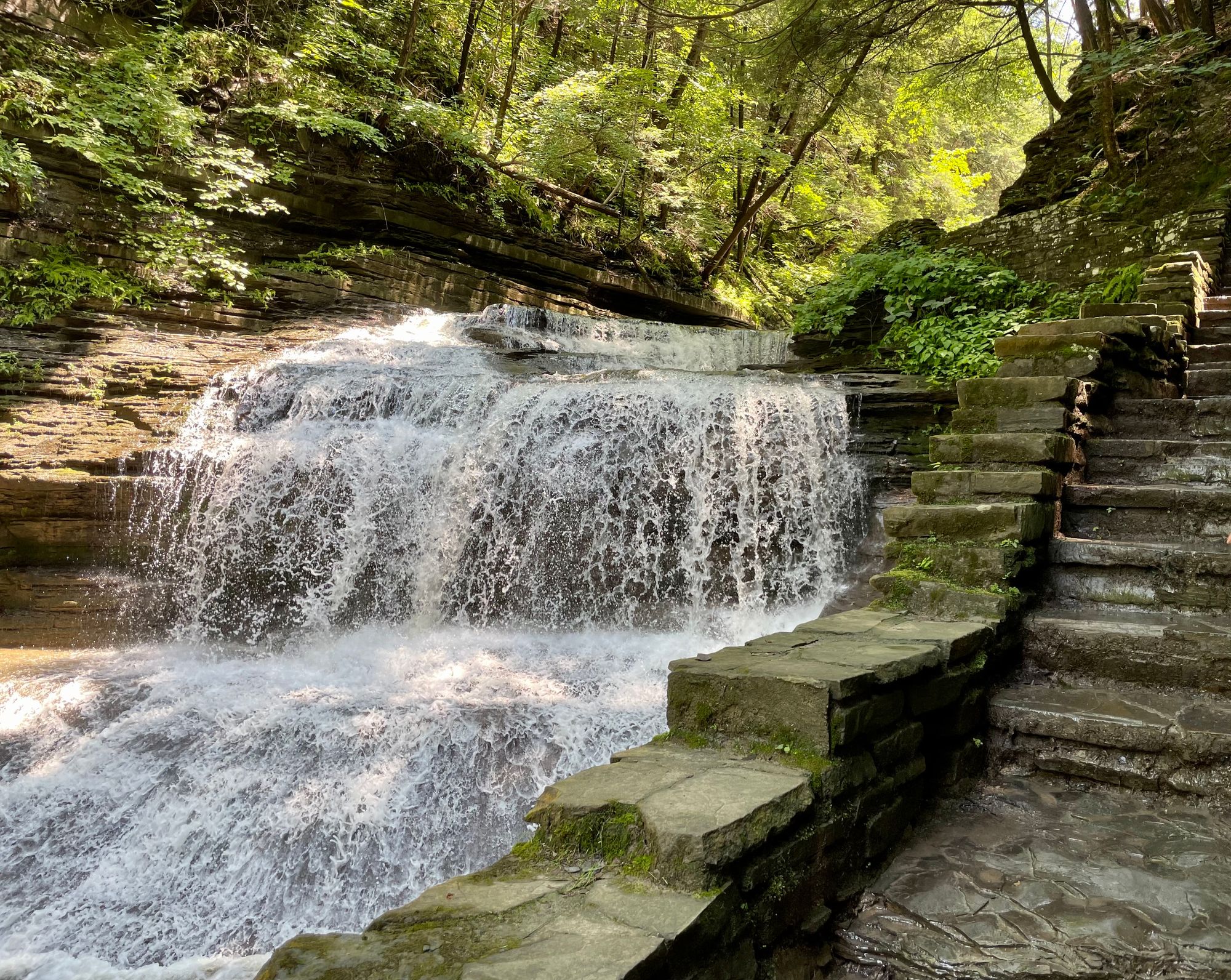
The views are stunning. The waterfall just kind of keeps going. So you get to the top of the falls, then see it’s flat for a bit, then there’s another waterfall, and so on up.
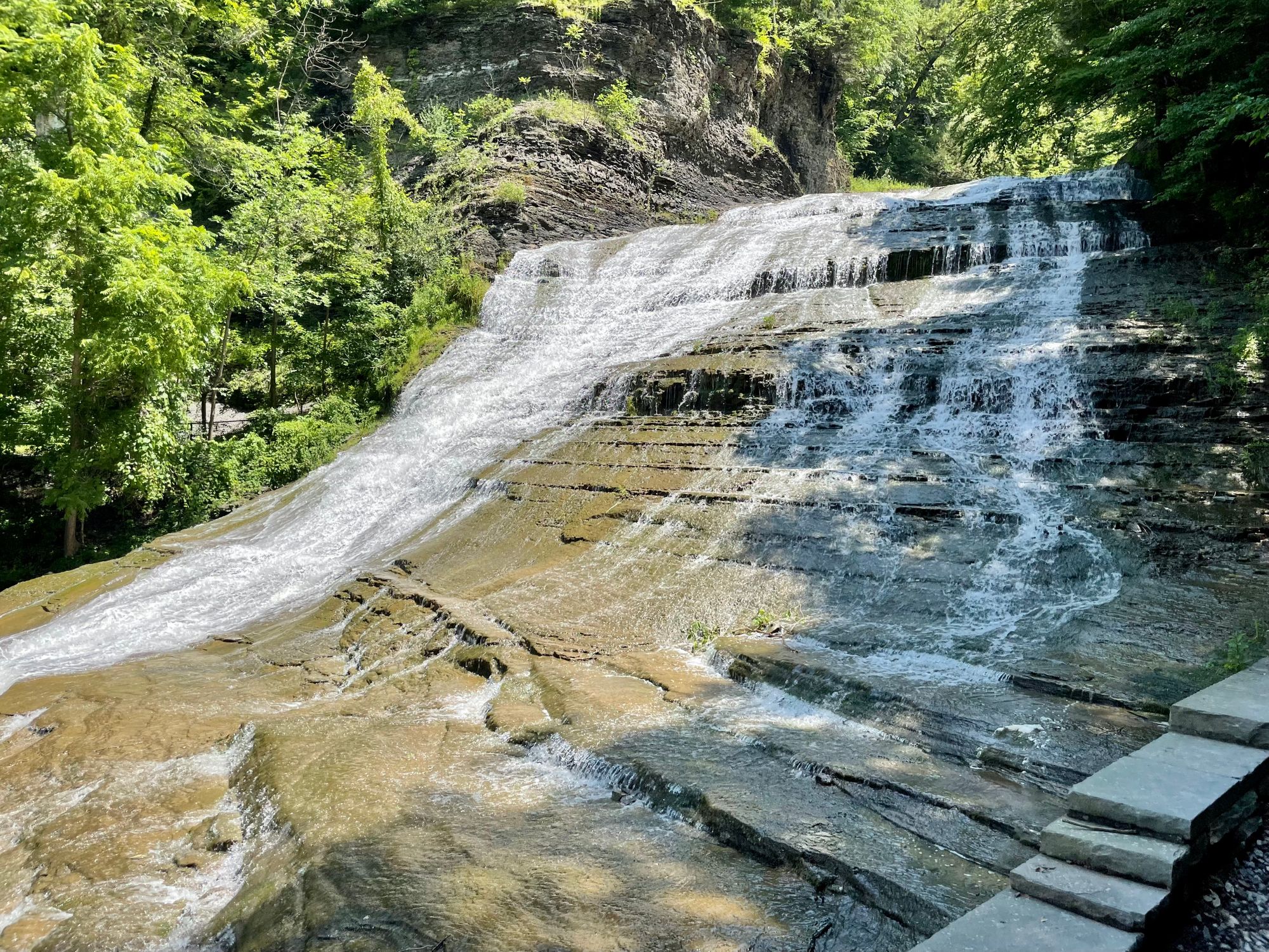
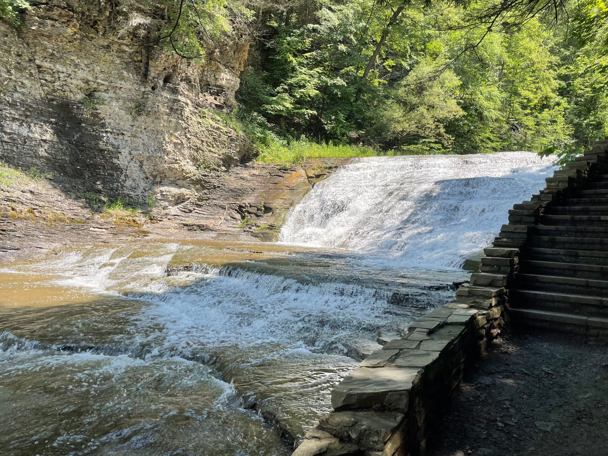
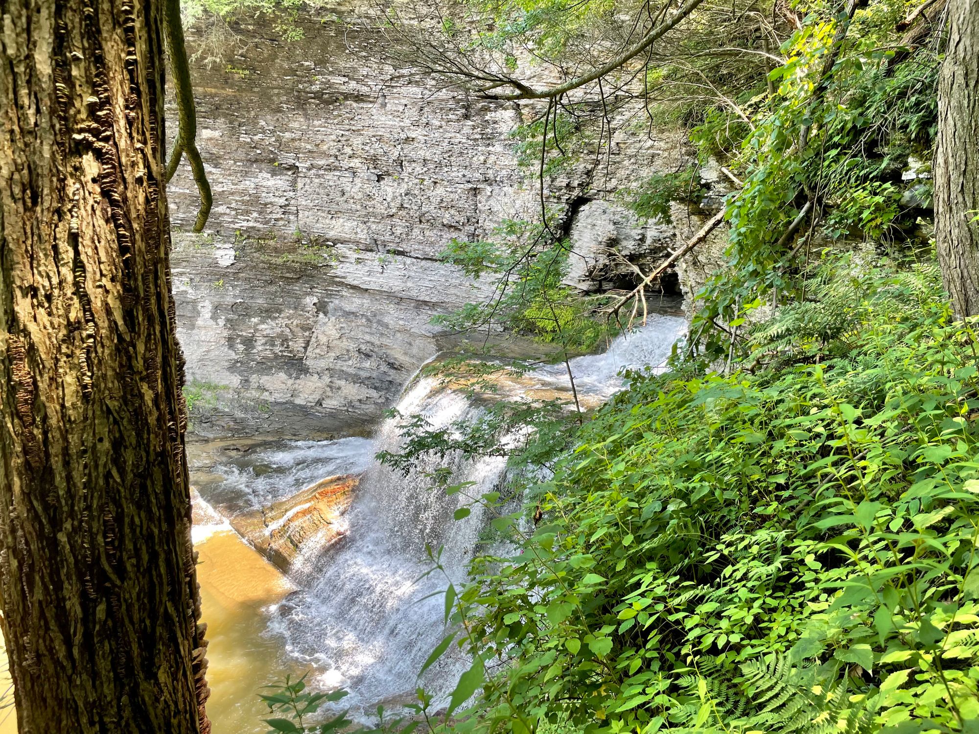
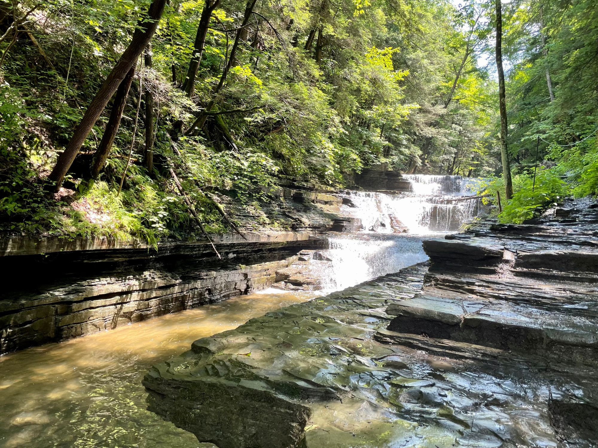
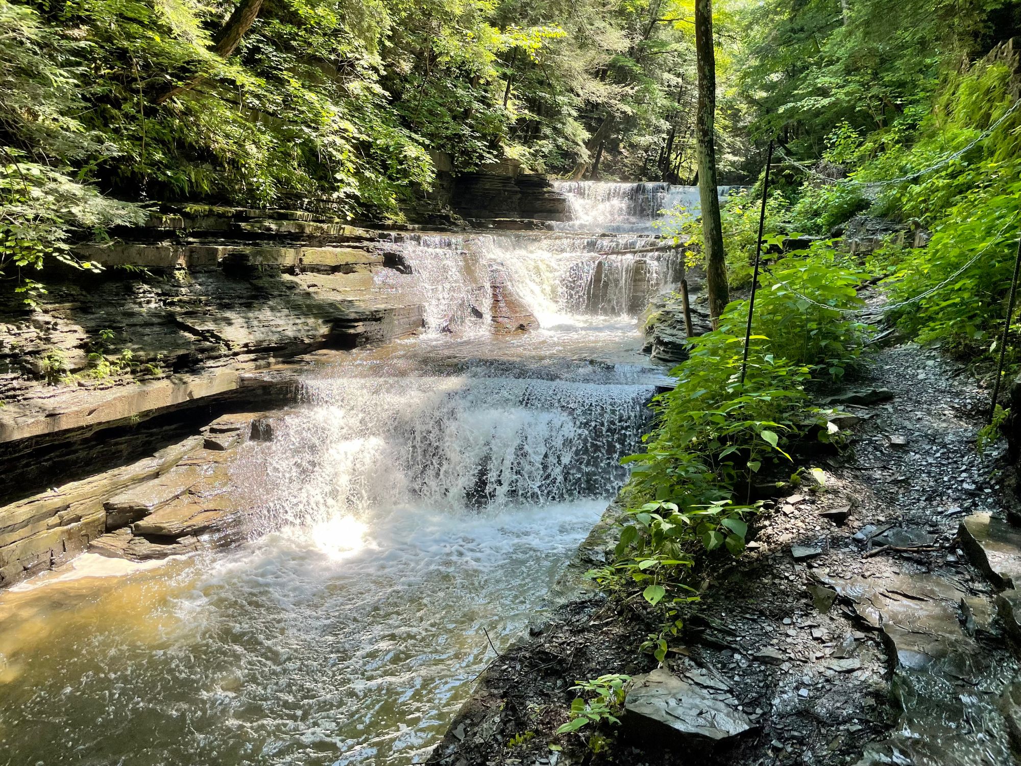
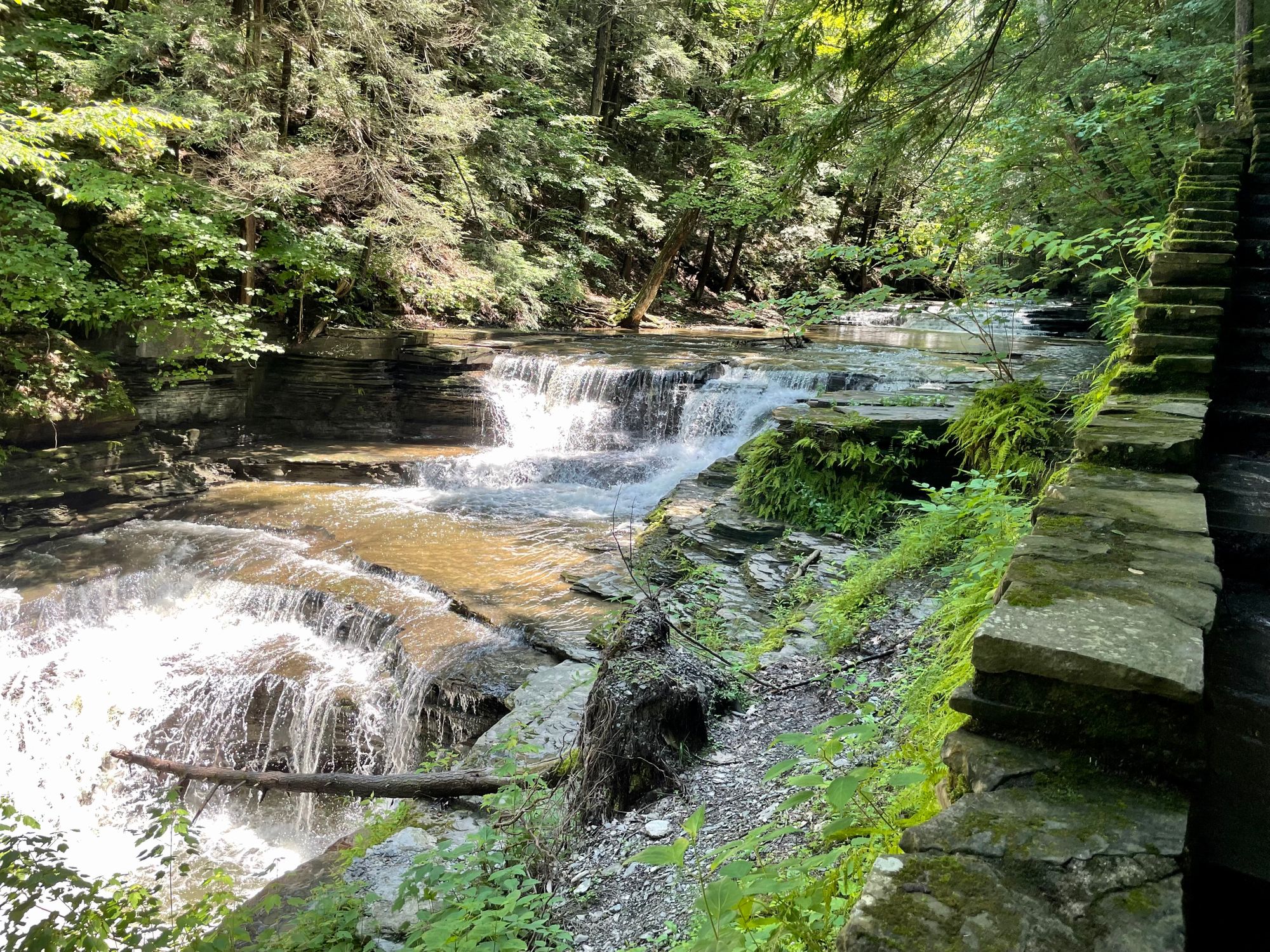
It's hard to get a sense of the true size of Buttermilk Falls, because it is so long and broken up, but each section is beautiful.
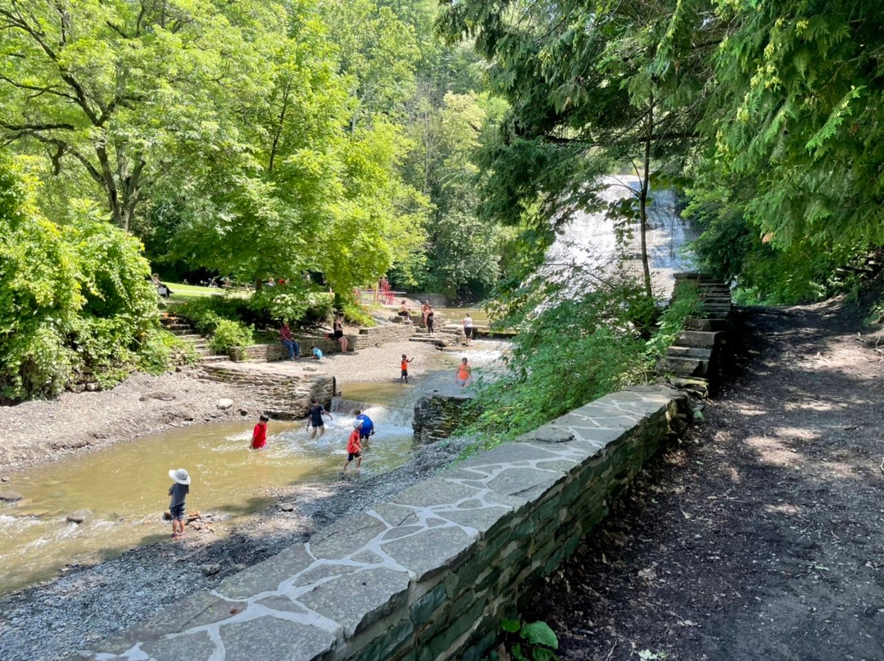
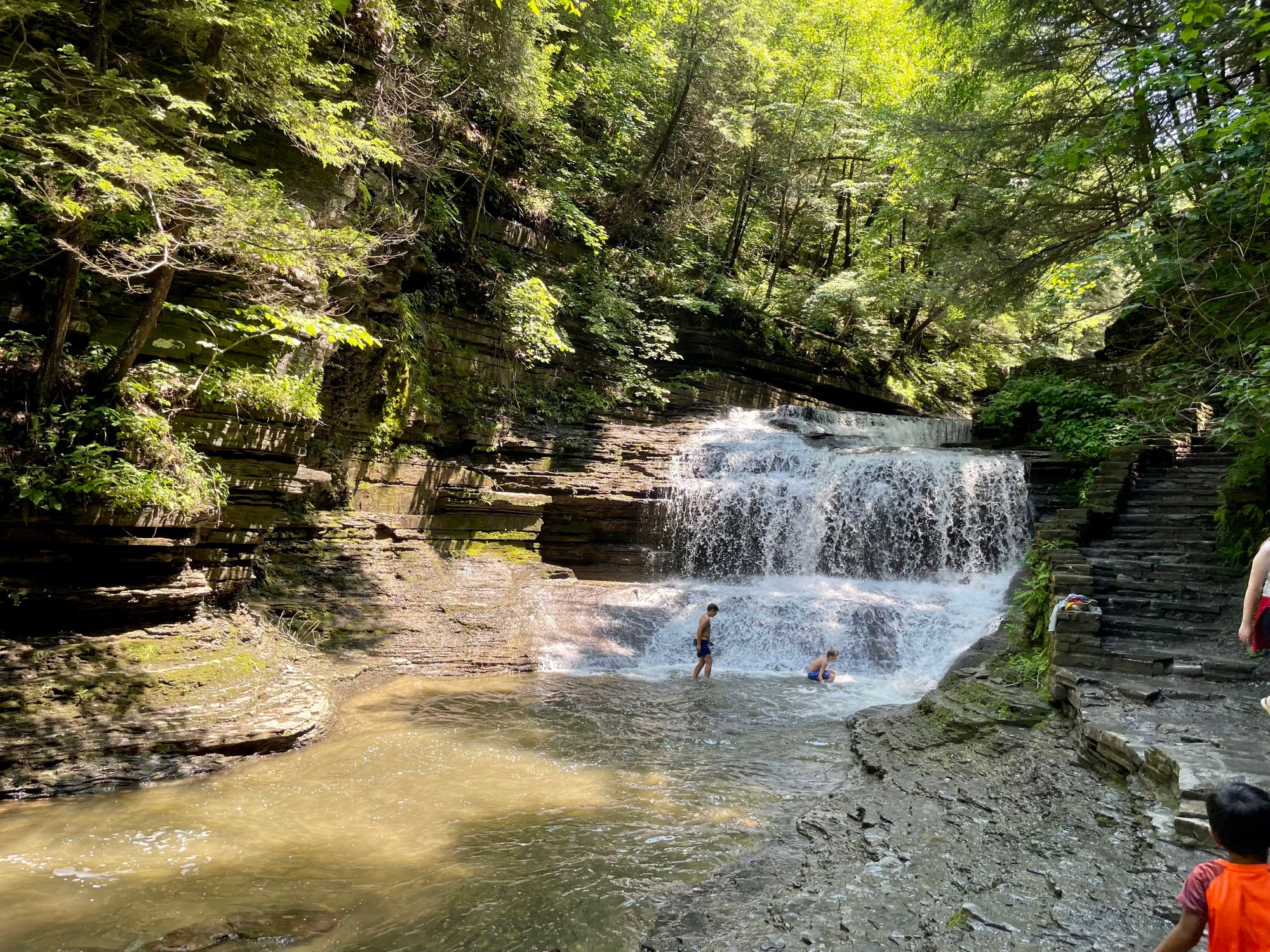
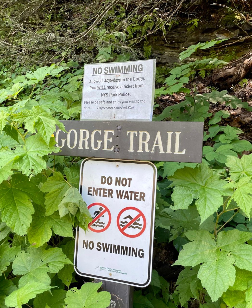
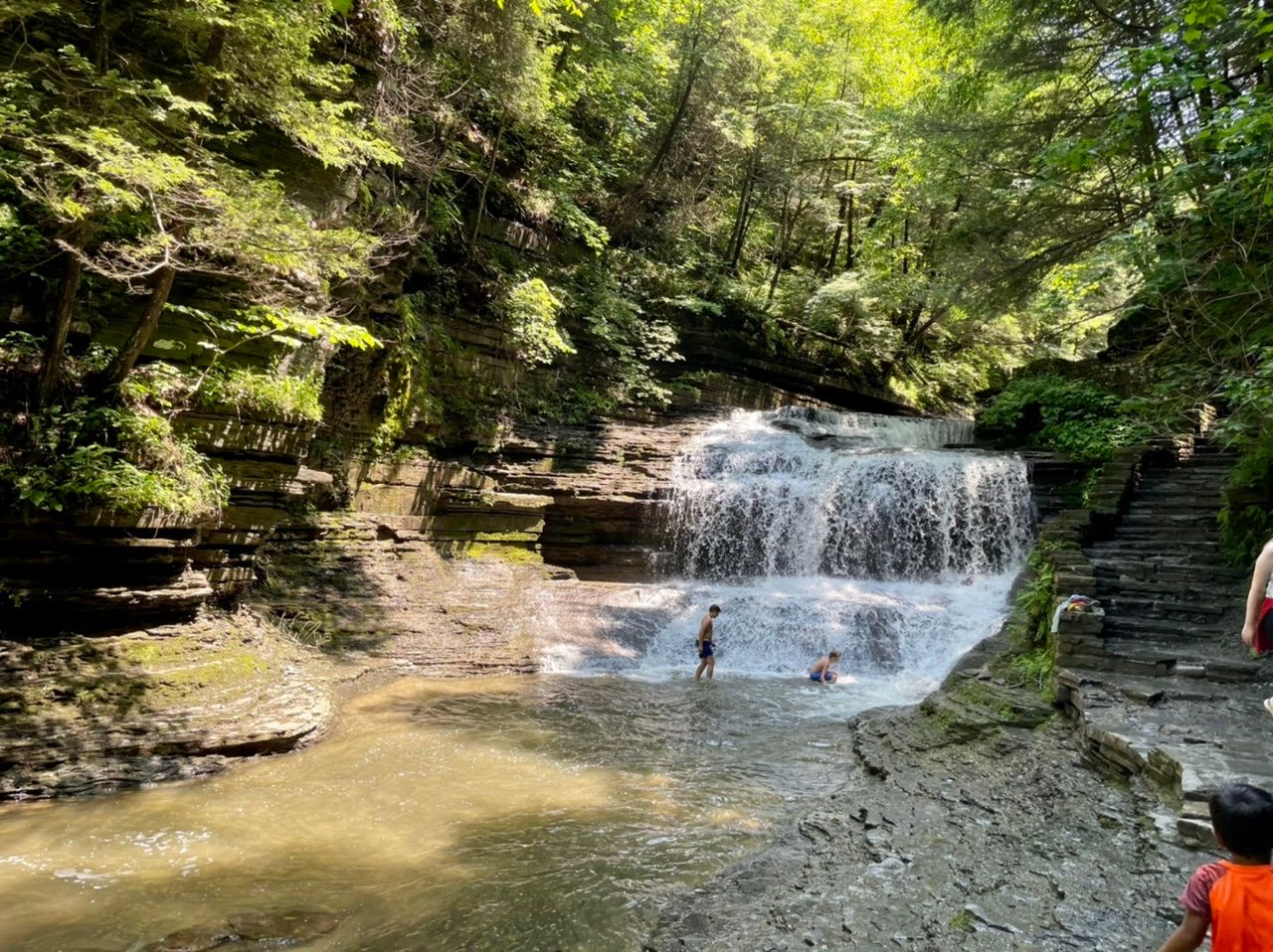
There were signs saying not to swim anywhere along the falls from the trail, but lots of people were doing it anyway.
There was one spot where people were jumping off a cliff into a deep pool at the bottom of one of the waterfalls.
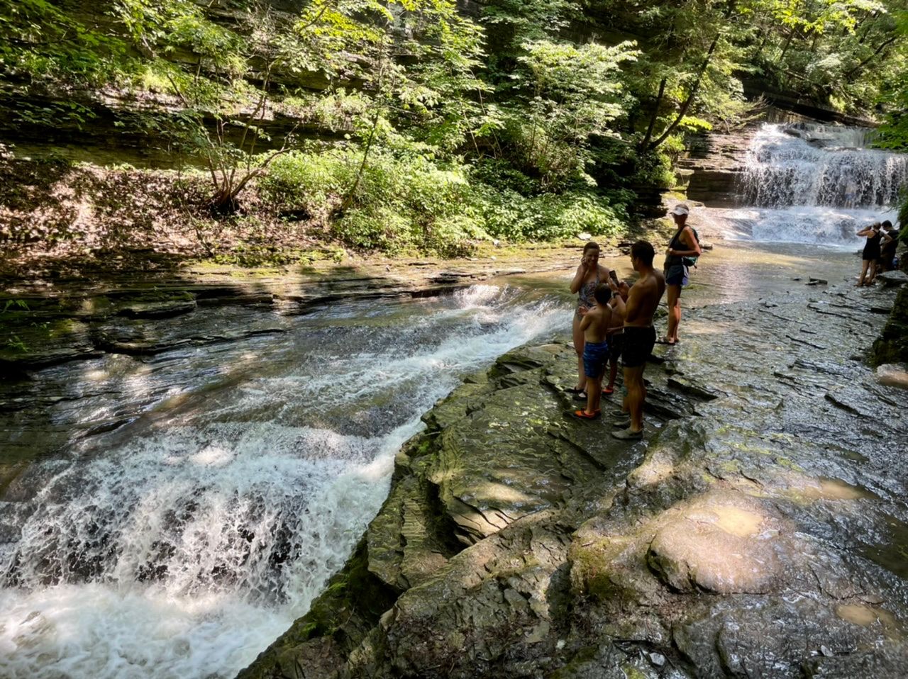
There were also some shallower areas where kids were playing and splashing around at the bottom of the falls.
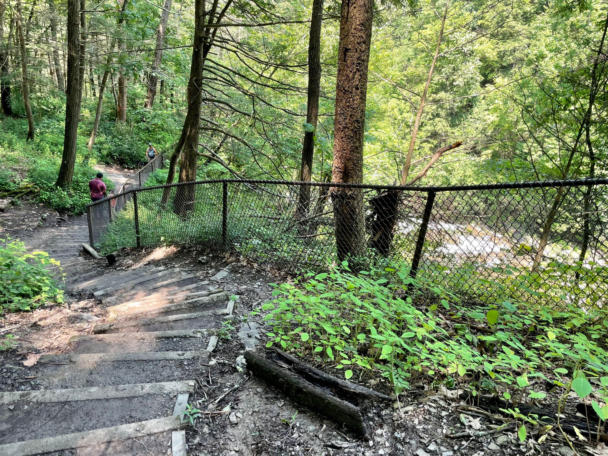
The Gorge Trail, in general, is pretty scary. In some places there is fencing so the kids can’t fall, but lots of places there isn’t.
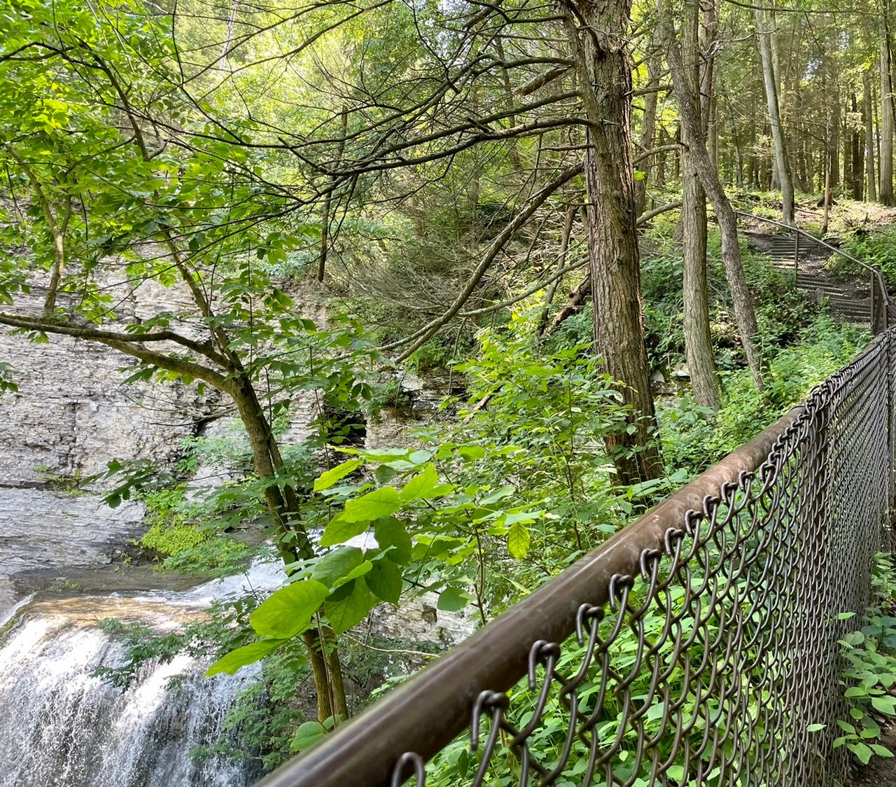
The trail or stairs go right up to the edge of a cliff you could easily tumble down right into the falls. I got a few judgey looks from people when the five-year-old ran ahead of me because they were worried he might fall. Thankfully, he didn't, and was convinced to stay with me.
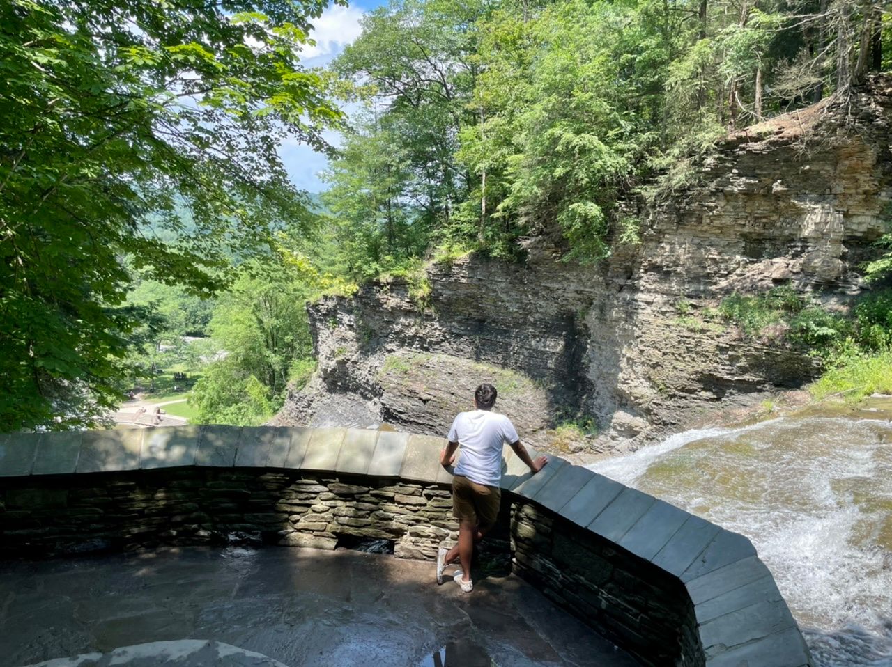
There's also a falls overlook area. From there you can look right, up the mountain, and see part of the falls, and left, down the mountain, and see where the water disappears down over the hill and out of sight.
Anyhow, after about half a mile, the trail splits. One side goes right and up further. The left side went down to a bridge, where you could cross over Buttermilk Creek and head back down the left side of the falls.
From the map, I surmise that the right branch would finish out the Gorge Trail and connect to the .75 mile long Bear Trail. From there, you could turn right, walk along the road for a short while, then do the 1.5 mile Lake Treman Trail that goes the whole way around Lake Treman.
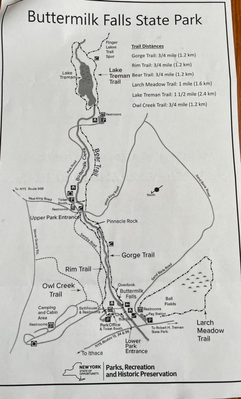
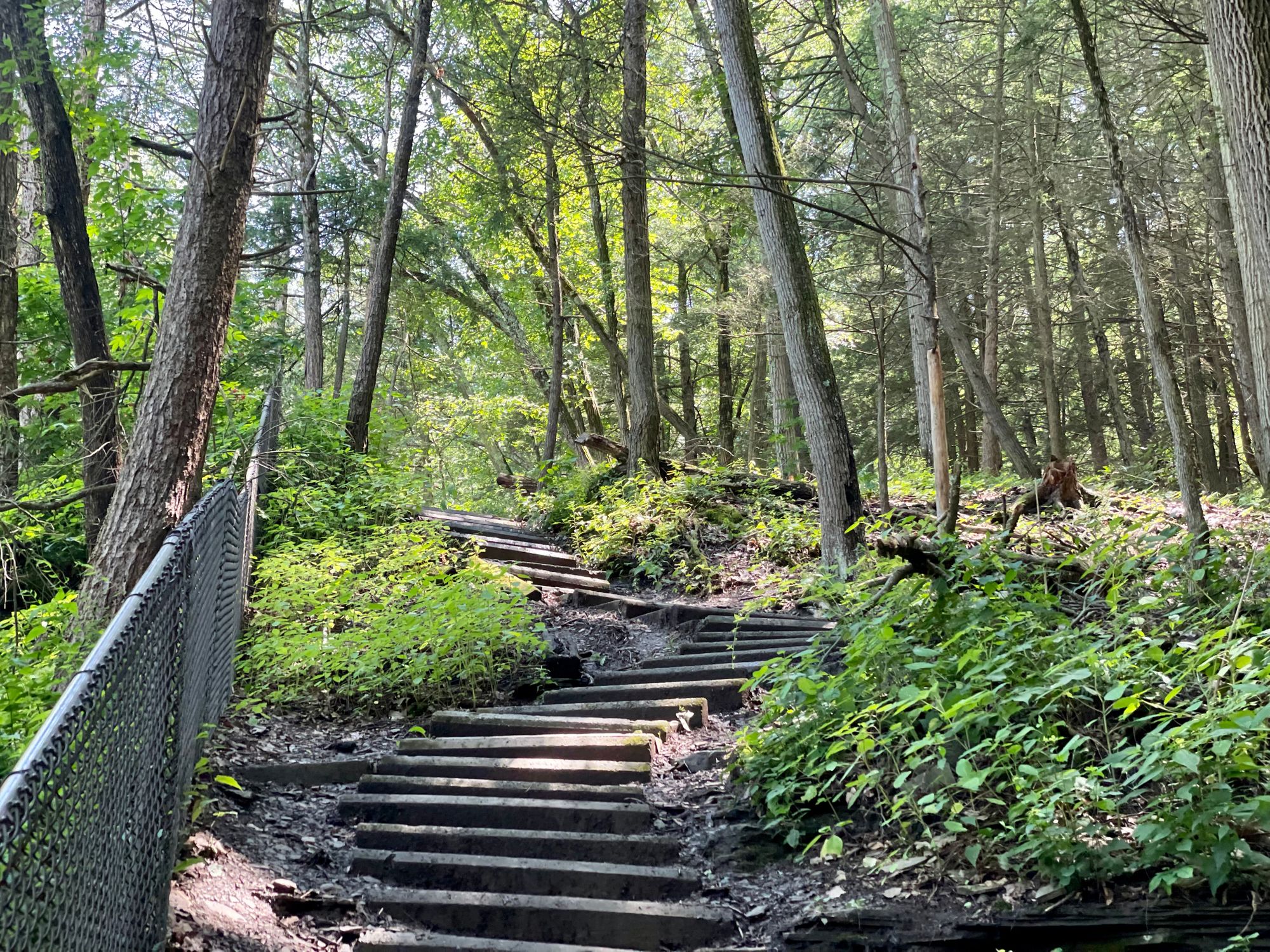
We didn't take that route, but instead went left, crossed the bridge, and turned left, heading uphill to the ridge.
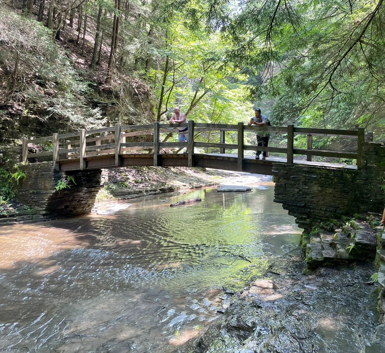
I was aiming for the Rim Trail, but think we were on the service road for a while before we joined the Rim Trail.
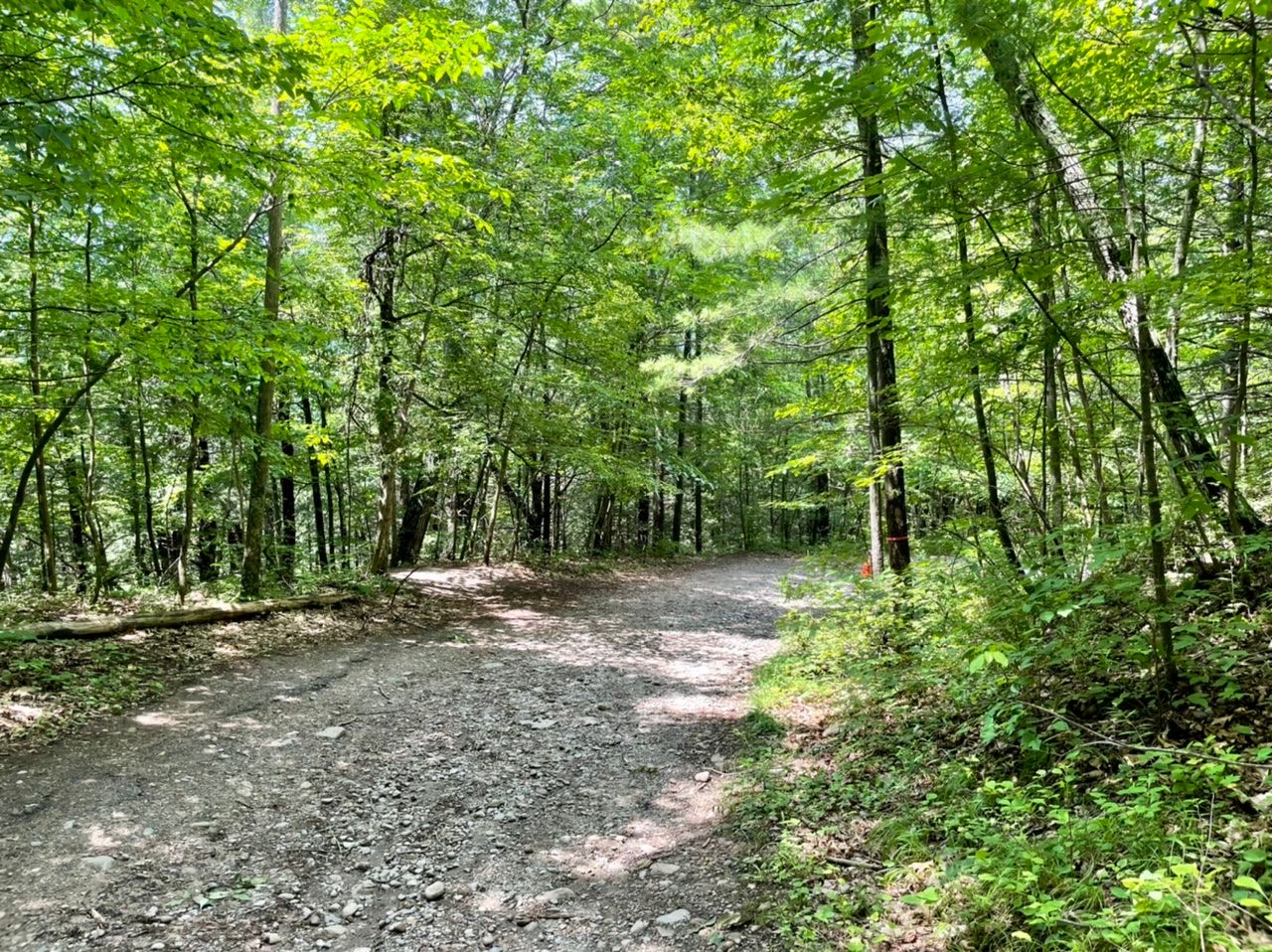
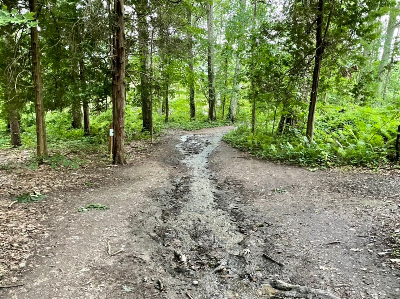
This trail had far fewer people on it than the scenic Gorge Trail. It was rocky, muddy, and had roots to trip over. Because it went down so steeply in places, we slipped quite a bit.
Both kids slid in the mud and got in on their clothes. The good news was that we were far enough from the edge for most of this trail that there was no fear that they might fall down the very steep cliff and into the creek/waterfall.